|
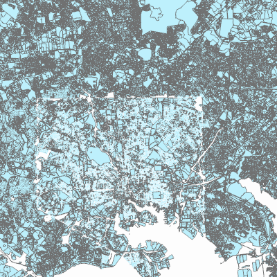
Width: 400 Height: 400 Extent:
YMin: 172444.28522078556 XMax: 447582.8766866088 YMax: 198629.39492471612 Spatial Reference: 26985 (26985) LatestVCSWkid(0) Scale: 247417.86457049905 |
| ArcGIS REST Services Directory | Login |
| Home > services > SelectMDCountyParcels (MapServer) > export | API Reference |
|
|
Width: 400 Height: 400 Extent:
YMin: 172444.28522078556 XMax: 447582.8766866088 YMax: 198629.39492471612 Spatial Reference: 26985 (26985) LatestVCSWkid(0) Scale: 247417.86457049905 |