|
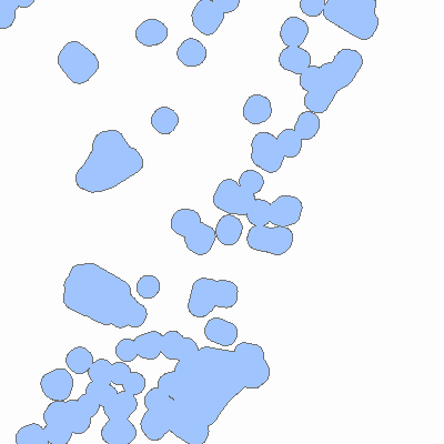
Width: 400 Height: 400 Extent:
YMin: 676007.0616483225 XMax: 639160.9823448214 YMax: 718311.7022691129 Spatial Reference: 102711 (3424) LatestVCSWkid(0) Scale: 121837.36498787641 |
| ArcGIS REST Services Directory | Login |
| Home > services > NJ_Parks_Buffers (MapServer) > export | API Reference |

|
Width: 400 Height: 400 Extent:
YMin: 676007.0616483225 XMax: 639160.9823448214 YMax: 718311.7022691129 Spatial Reference: 102711 (3424) LatestVCSWkid(0) Scale: 121837.36498787641 |