|
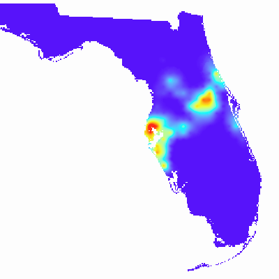
Width: 400 Height: 400 Extent:
YMin: 24.3530897722939 XMax: -79.59859032343053 YMax: 31.09153926069824 Spatial Reference: 4269 (4269) LatestVCSWkid(0) Scale: 7087741.091752766 |
| ArcGIS REST Services Directory | Login |
| Home > services > GALayerToRas2 (MapServer) > export | API Reference |

|
Width: 400 Height: 400 Extent:
YMin: 24.3530897722939 XMax: -79.59859032343053 YMax: 31.09153926069824 Spatial Reference: 4269 (4269) LatestVCSWkid(0) Scale: 7087741.091752766 |